


Listen to an Introduction:
 unragit, now known as Round Dounan, was on a natural hillock of outcropping rock some 12–14 feet high. It is heavily overgrown, quite difficult to find and there is not much to see, but it was a stone-built structure with an entrance through a straight passage at the inner end of which must have been a second gate. A thickening of the wall to the west of the outer gate indicates the position of a gate tower. An outer rampart encircles the base of the hill except on the steep slope of the east side. The name derives from Dun Rheged and it was the western-most of three 6th century Rheged power centres in Galloway. The other two are Trusty’s Hill and Mote of Mark.
After the departure of the Romans, the area seems to have come under the control of Strathclyde but in around 535AD two huge volcanic eruptions in America blocked out the sun for two summers with a huge dust cloud. The crops failed, people starved all across Europe. Three years later the same thing happened again and eventually yellow fever arrived with trading ships from the Mediterranean. It was known as the Great Death and the population of Galloway was decimated. The Strathclyde rulers appear to have moved out and from their heartland in the Lake District, colonists from Rheged moved in. The chieftains of Round Dounan probably governed an area similar to Wigtonshire.

 he name ‘Trusty’s Hill’ probably derives from the Anglish trist – a rallying point. It was a fortified citadel with a number of lesser enclosures looping out along lower lying land below. It appears to have been built around 475AD when Galwyddel (Galloway) was under the overlordship of the southern dynasty of Strathclyde. This may well have been the capital of Tutgual, first Chief of Galwyddel, and later also High Chief of Strathclyde. Building the timber-laced stone rampart of the citadel and the stone enclosures on the lower slopes would have required an enormous amount of materials and labour.
The entrance to the citadel seems to have been a place of ritual. On the right-hand side there is a rock-cut basin, clearly used for ritual purposes such as the inauguration of a new High Chief. On the other side, protected by a metal grill, is a Pictish carving. This is one of only three Pictish carved stones known outside Pictland. While the Z-rod and double disc are common Pictish carvings, the monstrous sea-beast and the sword are unique. They could date from anywhere between 500 and 900AD but what are they doing here? This area was inhabited by Britons, not by Picts. It has been suggested that they honour the demise of a great Pictish chief who may have been killed on a sea-borne raid for booty and an attack on the fort.
Alternatively, perhaps they were not carved by a Pict but a Briton who was familiar with Pictish carving and did his own version? Or perhaps they commemorate a marriage of a local chief’s daughter with a Pictish Chief? The Z-rod and double disc represent status and power. Perhaps the sword and the sea monster represent mastery of the perils of the sea under the protection of Manan, the God of the Sea. Inys Manau (Isle of Man), which also gets its name from the Sea God, was also part of Galwyddel. Do the Pictish carvings suggest a strong trading link with the north? Was this perhaps a centre for the sale of slaves captured in raids across the Irish Sea? Gatehouse of Fleet was a harbour. Ships came up the river and archaeological finds at Trusty’s Hill include imports from Europe which shows the importance of the place – wine and spices from the Eastern Roman Empire, foods and dyes from western France, decorated glass from the Rhineland, even pottery from Africa. On another stone there is an inscription in Ogham (the secret written language of the Druids).
Trusty’s Hill was certainly an important metalworking centre using local copper, iron and lead from the Southern Uplands, with highly skilled smiths fashioning bronze and iron objects such as pins, brooches and decorated horse harness. Around 550AD, perhaps as a result of serious decimation of the population by the bubonic plague, Strathclyde seems to have moved out and Rheged moved in, without any apparent evidence of conflict.
Trusty’s Hill was probably the principal seat of the three Rheged chieftainships in Galloway. Like the others it was destroyed at the time of the invasion of Angles from Northumbria in the first half of the seventh century. The timber-laced ramparts were deliberately set alight and would have been ablaze for days – a highly visible expression of the mastery of the newcomers.

he Mote of Mark overlooks the Urr estuary. This formed an ecclesiastical boundary in mediaeval times and probably reflects the boundary with the terrain ruled by Trusty’s Hill. The Mote of Mark territory in the east seems to have stretched as far as the west flank of the Nith Valley and to Loch Urr in the north – in other words more or less the line of the present Galloway/Dumfries border.
The fort was built at the time of the Rheged colonisation in the mid-sixth century, perhaps by the High Chief Cynfach’s stepbrother, Mark – hence the name. Quarried blocks of granite, enclosing a core of stones brought up from the beach and laced with timber, formed a four-metre wide stone rampart with an entrance on both the north-east and on the south sides. Within are the bases of two circular huts.
Although smaller than Trusty’s Hill, it was nevertheless an important and wealthy power base. Gold, silver, iron and copper were all worked in the southern part of the central hollow, to produce fine jewellery and decorated horse harness. In a non-monetary society, gifts of valuable objects were important in binding the loyalty of people to their chieftains. Other finds included wheel-thrown pottery and large quantities of animal bones. Glass from Germany, pottery from Bordeaux and wine amphora show trade in wine and spices with the Eastern Roman Empire.
Excavation has revealed the people’s diet included bannocks, broth, stew, porridge and oatcakes. The principal cereals seem to have been oats and barley and they drank beer and mead. Cattle were the main source of meat, but supplemented by sheep and pigs. The people spun their own wool and tanned their own leather.
Mote of Mark was probably the first of the three Rheged forts to be deliberately burnt at the time of the Northumbrian invasion in the 7th century.

How to get here

Round Dounan is fairly difficult to find and there is not a lot to see as the site is heavily overgrown. It is on the North side of the A75, about 9 miles South East of Stranraer. From the board, either continue up the road, keeping left through the houses and then into the woods (following the path to the Round Dounan) or continue along the the main road, turning right at the white house (signposted Glenwhan Gardens and Tearoom) and follow the road until you approach the top of the hill. The small path to the Round Dounan is on your right.
Trusty’s Hill is about a mile South West of Gatehouse of Fleet. The easiest approach is to turn off the main A75 at Cardoness Castle, which takes you into Gatehouse of Fleet. At a sharp right-hand turn, just before entering the town, notice a small lane called Planetree Park on the left. Continue into the town, and park in the car park on the right-hand side, opposite the entrance to Mill on the Fleet. This has an exhibition about Trusty’s Hill, which you may want to visit before walking back along the road, and up Planetree Park. Follow the road, keeping to the right until you come to a cattle grid at the top of the hill. There is a small gate to your left, this will take you over a stepped wall and onto the path to Trusty’s Hill.
The Mote of Mark is five miles south of Dalbeattie. Turn off the A710 at Colvend and travel for a mile or so along the road signposted to Rockcliffe. The main car park is on the left, just before you enter the pretty seaside village of Rockliffe. (For easier access, there is also some parking at the far end of the village). Walk around the bay then follow the path into some woods by the toilet block. After a short distance you will be able to see the Mote of Mark. An information panel provides an illustration of how it probably looked.
Rheged
Latest updates, news and articles…
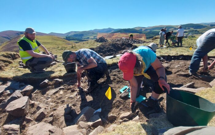
Origins Of The Merlin Legend Unearthed In The Scottish Borders
Last summer a team of volunteers led by GUARD Archaeology and the Arthur Trail Association excavate [...]
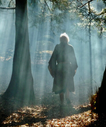
“RESURRECTION AFTER 1500 YEARS” Press Release 15/08/23
Clyde (Dumfries & Galloway) Community Fund, administered by Foundation Scotland have announced [...]
Schools Pack Now Available
We are pleased to present the Schools Pack which has just been produced by The Arthur Trail Associa [...]

2022 Archaeological Investigation of a Hidden Heritage: Tinnis
9th to 21st August 2022. Excavation of Tinnis Castle Hillfort. 17th to 26th October 2022. Excavatio [...]

MERLIN – FACT AND FAKE – International Conference
Behind the legend is a real historical figure who lived in the 6th century AD. How much of his st [...]

Caerlaverock Castle Reconstruction Video
Here's a cracking wee digital reconstruction video of Caerlaverock Castle, which is a stone's throw [...]

Tinnis Castle on The Merlin Trail
Tinnis Castle, Drumelzier, Peeblesshire, Scottish Borders The dreich day, with low mists hanging, o [...]
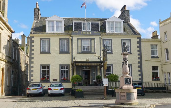
Tontine Hotel Peebles – a base for exploring Merlindale
Situated in Peebles, we're a gateway for you to explore everything the Scottish Borders has to off [...]
Photo Gallery
Click on the images for full size versions


Places to Visit and Things to Do

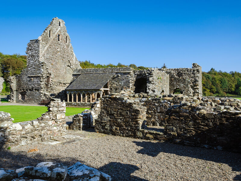


Dunragit
Click to play video.
Trusty’s Hill
Click to play video.
Mote of Mark
click to play video.
For ACCOMMODATION links see our map below >>
Buy the Book by Robin Crichton

The History behind the Legend
This is the true story behind the legend of Merlin. Born of a royal family to a life of privilege and luxury, his place in society was ordained until he lost everything in a bloodbath of pillage and genocide. Forced to live on the run he survived as an outlaw hiding out in a cave, living off what the forest could provide.
It is the story of the clash between Christianity and traditional belief – a duel between St Mungo the priest and Merlin the pagan, played out against a webs of late 6th century political intrigue and the strife of a land tearing itself apart.
Until now, our Early Dark Age heritage has been largely ignored by historians because of the lack of cross-checkable written data. This book combines history, archaeology, etymology, topography, botany and folk memory in a giant jigsaw. With nearly 150 colour illustrations and maps, the book is accompanied by a gazetteer of 28 Dark Age sites. It presents the evidence, suggests various interpretations and invites the reader to be the historical detective.
For further information: contact Robin Crichton – Email [email protected]

 in or
in or  out, or open the menu
  for a list. If you are using a mobile, why not go
  fullscreen?